top of page
Preserving & Promoting
Local History, Art, & Culture

Shawmont Station Oldest Passenger Train Station (2019)

Valley Green Along the Wissahickon

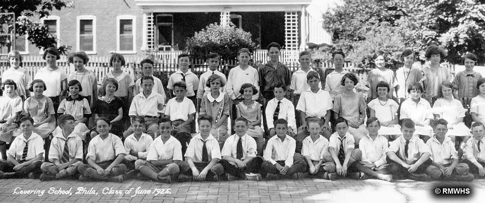
1925 Levering School

Shawmont Station Oldest Passenger Train Station (2019)
1/10
1869 - Survey of Wissahickon
Source:
URL:
Free Library of Philadelphia
Full Name:
Map of the Survey of Wissahickon Creek from its Mouth to Paul's Mill Road Defining Boundaries of Land Appropriated by the Commissioners of Fairmount Park, ca. 1869, Map
Visit the source URL to use zoom features, find additional formats, or download a high quality image.

bottom of page